[vc_row][vc_column][vc_video link=”https://vimeo.com/725364431″][vc_column_text]The ultimate goal of the navigator’s activities is to produce a record of his voyage, be it either in the form of a paper or digital chart. This includes the planning and execution of the voyage and the monitoring thereof. Because of the international nature of sea voyages and the present trend to have multinational crews, it is imperative that the process which includes the plotting and plotting symbols, be universally accepted. This chapter provides guidance on the plotting procedure and the symbols used by all mariners.
The Position Line.
In order to check the ship’s progress on a predetermined course, it is necessary for the navigator to ascertain the position of the ship from time to time. This he does by observing landmarks and heavenly bodies and obtaining from them what are called position lines. A position line is any line drawn on a chart on which the ship’s position is known to lie. It can either be a straight line or a curve. The simplest form is obtained from a bearing of a terrestrial object, the position of which is known.
A position line obtained from a bearing of a terrestrial object is distinguished by a single arrow at the outer end.
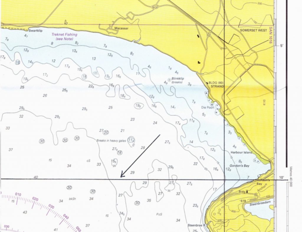
Single position line.
A position line/arc obtained from an astronomical observation or from a range (distance) of a terrestrial object has a single arrowhead at both ends.
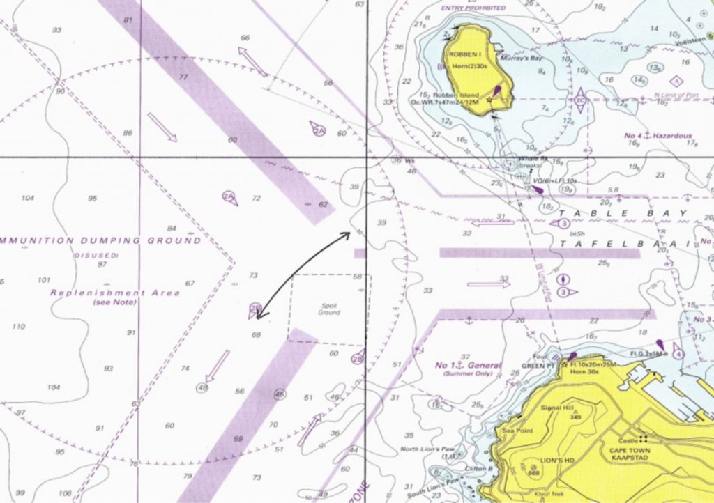
Single position curve or arc.
A position line that is transferred from another position line is distinguished by a double arrowhead at both ends.
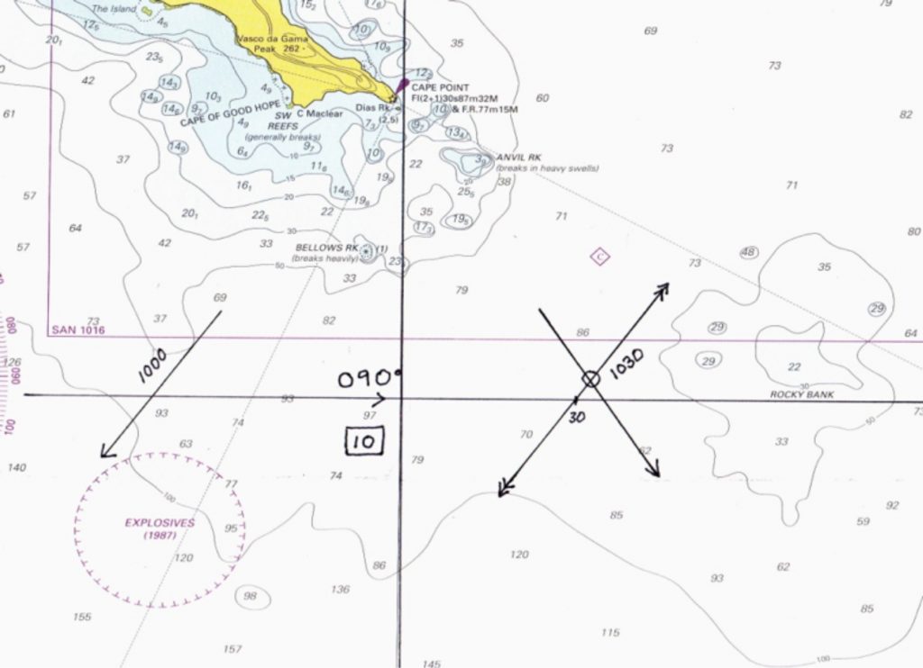
Ship’s track with transferred position line.